

Blog
Steel Ball Run Map: Complete Race Route and Stages
The gist: The complete steel ball run map charts a 6,000-kilometer transcontinental race course across nine grueling stages from San Diego beach to New York City. Spanning hostile deserts, Rocky Mountain passes, and Midwestern plains, the geographic route dictates tactical rider maneuvers and supernatural relic confrontations.
When race promoter Steven Steel fired the opening ceremonial starter pistol on the shores of San Diego on September 25, 1890, over 3,800 competitive equestrians surged east toward New York City. What appeared to the public as an audacious transcontinental sporting endurance test was secretly engineered as a covert continental excavation expedition to retrieve sacred mummified relics scattered along historical frontier pathways.
Tracking the race route stage by stage illuminates how Hirohiko Araki used authentic North American geography to heighten storytelling tension. From treacherous shifting sands to frozen snowbound forest ambushes, each region presents distinct physical and supernatural obstacles that riders must overcome. Below is the complete geographic itinerary and stage-by-stage breakdown of the steel ball run map across all nine competitive stages.

| Stage Number | Starting Location | Finish Checkpoint | Course Distance | Serialized Manga Chapters |
|---|---|---|---|---|
| Stage 1 | San Diego Beach, California | Santa Maria Valley, California | 15,000 meters (15 km) | Chapters 1 to 11 |
| Stage 2 | Santa Maria Valley, California | Phoenix, Arizona (via Devil’s Palm) | 1,200 kilometers | Chapters 12 to 24 |
| Stage 3 | Phoenix, Arizona | Rocky Mountain Pass, Colorado | 510 kilometers | Chapters 25 to 30 |
| Stage 4 | Rocky Mountain Pass, Colorado | Kansas City, Missouri | 1,250 kilometers | Chapters 31 to 44 |
| Stage 5 | Kansas City, Missouri | Chicago, Illinois (via Mississippi) | 780 kilometers | Chapters 45 to 55 |
| Stage 6 | Chicago, Illinois | Mackinaw City, Michigan | 690 kilometers | Chapters 56 to 65 |
| Stage 7 | Mackinaw City, Michigan | Philadelphia, Pennsylvania | 1,000 kilometers | Chapters 66 to 75 |
| Stage 8 | Philadelphia, Pennsylvania | New Jersey Coastline | 140 kilometers | Chapters 76 to 89 |
| Stage 9 | New Jersey Coastline | New York City Finish Line | 40 kilometers | Chapters 90 to 95 |
What is the complete nine-stage itinerary on the steel ball run map?
The complete nine-stage itinerary on the steel ball run map guides riders through 6,000 kilometers of rugged terrain, starting at San Diego Beach, cutting through Arizona deserts and Colorado passes, traversing the Midwestern plains, and concluding in Manhattan, New York City.
The course was intentionally designed to test every facet of equestrian endurance, wilderness navigation, and physiological stamina. Riders had to balance aggressive sprint pacing with careful water conservation, grazing management, and equipment repair.
As explored in our companion articles on the overall series guide and competitor cast breakdowns, the geographical terrain directly shaped tactical combat strategies throughout each competitive stage.
How did the Devil’s Palm anomaly alter the Stage 2 route?
The Devil’s Palm anomaly altered the Stage 2 route by creating a shifting geographic desert zone where extreme magnetic interference, disorienting mirages, and supernatural pressures forced riders off conventional trails and triggered latent Stand awakenings.
During the grueling 1,200-kilometer second stage through Arizona, competitors faced the Devil’s Palm: a wandering desert phenomenon that moves unpredictably across the landscape. The intense spiritual resonance within this territory awakens supernatural manifestations in riders who possess sufficient willpower.
It is within this hostile desert basin that Johnny Joestar fuses with the first holy relic part and awakens Tusk Act 1, as detailed in our guide on Johnny Joestar’s character evolution.
The intense atmospheric distortion inside the Devil’s Palm rendered conventional magnetic compasses useless, forcing navigators to rely entirely on solar angles, celestial star sightings, and subtle wind patterns. This harsh environment stripped away superficial racing advantages, ensuring that only riders with supreme physical resilience and intuitive environmental awareness could survive.
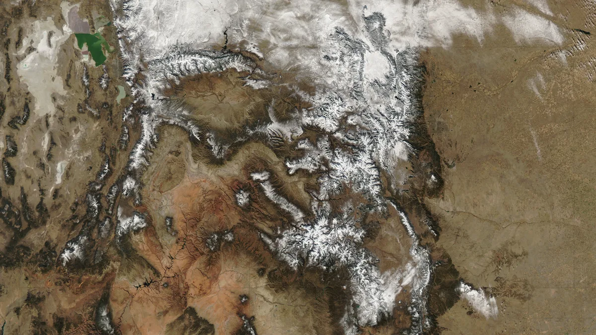
What environmental perils emerged across Stages 3 through 6?
Environmental perils across Stages 3 through 6 included freezing Rocky Mountain blizzards, treacherous narrow cliff trails, swollen Mississippi river crossings, and dense Midwestern forests, providing ideal ambush terrain for government Stand operatives pursuing the sacred relics.
As competitors climbed into Colorado and crossed the Great Plains toward Chicago, the race dynamic transitioned from survival navigation to intense guerrilla combat:
- Stage 3 (Rocky Mountain Ambush): Dangerous narrow mountain paths allowed Diego Brando and rival assassins to bottle up lead riders in high-altitude choke points.
- Stage 4 (Great Plains Pursuit): Vast open grasslands forced riders into high-speed chases where long-range Stand abilities could strike across hundreds of meters.
- Stage 5 (Mississippi River Crossing): Navigating wide, rushing water currents forced riders to seek shallow fords or risk drowning their mounts during cold autumn crossings.
- Stage 6 (Frozen Lake Trails): Snowstorms and icy terrain near the Great Lakes tested hoof traction and pushed rider cold-weather gear to its absolute limits.
Studying the historical 1890 transcontinental route reveals how geographical landmarks, railway intersections, and natural water basins created natural tactical bottlenecks throughout the race.
Understanding the historical context of late nineteenth-century transcontinental travel deepens your immersion in Araki’s expansive frontier world, bridging historical reality with supernatural fiction.
Competitors had to adapt their riding pace to changing soil density, mountain elevation gradients, and prevailing wind patterns to preserve horse stamina across every demanding stage.
The strategic distribution of race stages across diverse climatic zones highlights the extraordinary logistical planning required for transcontinental expeditions in the late nineteenth century.
From navigating arid desert plateaus to enduring mountain blizzards, every competitive checkpoint tests rider stamina and tactical resource management.
How did cold weather and Great Lakes terrain challenge riders?
Cold weather and Great Lakes terrain challenged riders by freezing waterways, encrusting horse coats in ice, and obscuring trail landmarks with heavy snowfall, demanding extreme equestrian conditioning and precise rationing of warm calorie-dense horse feed.
Near Mackinaw City, competitors encountered bitter sub-zero winds sweeping off Lake Michigan. Navigating frozen marshland required riders to dismount frequently and lead their mounts by hand over thin ice sheets, risking catastrophic falls into freezing water.
Managing equine physiology under extreme cold demanded specialized equestrian care. Riders rubbed liniment oils into their mounts’ hocks and fetlocks to prevent muscle cramping, while covering saddle blankets with oiled canvas tarps to shield horses from sleet during overnight camps.
What tactical challenges unfolded along the Eastern Seaboard in Stage 7?
Tactical challenges along the Eastern Seaboard included navigating dense urbanized settlements, avoiding government surveillance networks in Philadelphia, and racing along high-speed turnpike roads where equestrian mounts reached maximum sprint velocities.
In Pennsylvania, the competition reached fever pitch as civilian crowds gathered along spectator barriers, forcing riders to execute tactical maneuvers in close quarters while eluding presidential secret service agents.
The sudden transition from wilderness navigation to paved cobblestone streets created severe physical shocks for horses accustomed to soft prairie turf. Lead jockeys had to switch from broad trail horseshoes to specialized road plates with hardened calks to maintain traction on wet city paving stones.
Spoilers: late race stages and the dramatic New York finish
In the climactic final stages near Philadelphia and the New Jersey coast, the transcontinental competition reaches its dramatic conclusion. President Funny Valentine activates the completed holy corpse, triggering multi-dimensional dimensional distortions across the eastern seaboard.
Following Gyro Zeppeli’s heroic sacrifice, Johnny Joestar unlocks the infinite rotation of Tusk Act 4, defeating Valentine and breaking the dimensional barrier. However, an alternate-universe Diego Brando emerges with The World, seizing the holy relic and sprinting toward Trinity Church in Manhattan.
In the final twist, Lucy Steel uses Diego’s original severed head to eliminate the alternate Diego, locking the holy corpse inside the underground vault forever. Pocoloco, having ridden with incredible luck, crosses the New York City finish line in first place, claiming the fifty-million-dollar championship prize.
The transcontinental course by the numbers
- 6,000 total kilometers covered across the full transcontinental course (official race itinerary).
- 9 competitive stages dividing the course across North American terrain (official course charter).
- 3,852 registered equestrians starting at the San Diego coastline (historical registration).
- 50,000,000 dollar cash prize awaiting the champion in New York City (official race purse).
- 1890 the historical year of the inaugural transcontinental race (historical setting).
- 95 serialized chapters detailing the complete journey across America (publishing timeline).
- 40 kilometers covered in the final sprint stage into Manhattan (final stage distance).
Why geographic realism grounds the transcontinental race
The Steel Ball Run map remains one of manga’s most immersive racecourses because Araki grounded supernatural Stand combat within authentic historical American geography. Every canyon, mountain pass, and river crossing provides real physical stakes that make the characters’ grueling transcontinental journey unforgettable. Which race stage or terrain obstacle did you find most thrilling to follow?
Reader mail
How long was the entire Steel Ball Run race course?
The entire transcontinental course spanned approximately 6,000 kilometers (3,728 miles) across nine distinct competitive stages.
Where did the transcontinental race start and end?
The race started on San Diego Beach, California, on September 25, 1890, and concluded in Manhattan, New York City.
What was the longest individual stage in the race?
Stage 4 from the Rocky Mountains to Kansas City was the longest individual stage, covering 1,250 kilometers across the Great Plains.
Why did the race route pass through the Devil’s Palm?
The Devil’s Palm shifts across the desert unpredictably, intersecting Stage 2 and forcing riders into extreme environmental stress that awakened Stands.
How we researched this: official releases and trade press for facts; an AI tool produced the first pass, and Stand names were verified one by one.
Sources: Official manga publication catalog, Broadcast streaming series directory, Animation industry encyclopedia